

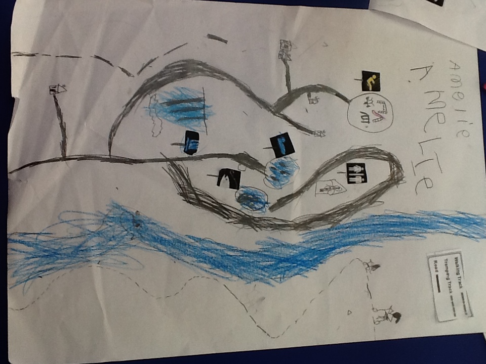

Then we wanted to have a go at orienteering, Mrs Walker taught us how to use the compasses, some of them were stuck but William G worked out that they had a lock at the side that released the needle. We cracked the code on the top court using our compasses.


 When we were finished we had more questions about how the compass worked, what makes the needle go to the North. Our poem that week gave us some clues about our Earth being a magnet. We decided to explore magnets as a Reading Activity in the following week.
All of this started from Fergus noticing different types of lines on our maps and Joe counting all of the orienteering pegs along the track at Ross Creek. What a question trail.
When we were finished we had more questions about how the compass worked, what makes the needle go to the North. Our poem that week gave us some clues about our Earth being a magnet. We decided to explore magnets as a Reading Activity in the following week.
All of this started from Fergus noticing different types of lines on our maps and Joe counting all of the orienteering pegs along the track at Ross Creek. What a question trail.
No comments:
Post a Comment